Eastern & Southern North Island Pathfinder Map 120
- ISBN #9415871001239
- PATHFINDER
- Ships in 3-10 days
- Ships in 3-10 days
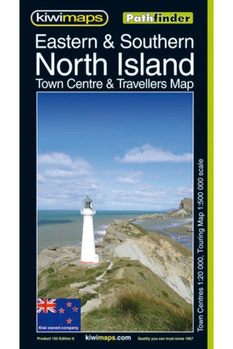
Eastern & Southern North Island Pathfinder Map 120
- ISBN #9415871001239
- PATHFINDER
- Ships in 3-10 days
- Ships in 3-10 days
$10.43 ex GST
- Product Details
- Delivery & Returns
-
North Island Eastern and Southern in a series of double-sided, indexed touring maps with plenty of tourist information and street plans of town centres. The maps highlight main highways and regional roads, but also show small local roads and selected 4WD tracks. Railways and popular hiking tracks are also shown. National parks and forests are highlighted, and a wide range of symbols indicate numerous sport and leisure facilities, camping and motor home/caravan parks, vineyards, Lord of the Rings filming locations, and other places of interest. Relief is shown by faint hill shading and occasional spot heights. The maps have no geographical coordinates. Each map is indexed and includes several insets of street plans of main towns.
- Publication Date: 29/03/1999
- 880 x 615mm
- Sheet Map, folded
-
There is no Handling & Delivery cost for orders over $50 ex GST unless there are large items in your order.
Orders under $50 (ex GST) & excluding Gift Card only orders :
$6.00 ex GST ($6.90 incl GST)
Surcharge for Rural Delivery addresses $3.13 ex GST ($3.60 incl GST) for orders under $50 ex GST
Orders with only Gift cards under $50 are charged $2.52 ex GST ($2.90 incl GST)There is no Handling & Delivery cost for eGift card orders.
Charges for Large or Bulky items . These are indicated by the Large item icon.
Regardless of total order value: first unit $8.70 ex GST ( $10 incl GST), then every subsequent unit $4.35 ex GST ($5 incl GST)Read more about Delivery Information
Read our Returns and Exchanges Policy
-
Product Details
North Island Eastern and Southern in a series of double-sided, indexed touring maps with plenty of tourist information and street plans of town centres. The maps highlight main highways and regional roads, but also show small local roads and selected 4WD tracks. Railways and popular hiking tracks are also shown. National parks and forests are highlighted, and a wide range of symbols indicate numerous sport and leisure facilities, camping and motor home/caravan parks, vineyards, Lord of the Rings filming locations, and other places of interest. Relief is shown by faint hill shading and occasional spot heights. The maps have no geographical coordinates. Each map is indexed and includes several insets of street plans of main towns.
- Publication Date: 29/03/1999
- 880 x 615mm
- Sheet Map, folded
- Delivery & Returns


